Advanced Location-based App Development Services

Our area of expertise is location-based apps. We develop geolocation apps and offer location-based services. Custom mobile solutions are implemented by our GIS consultants. Processing GPS coordinates and GEO-positioning are two of our areas of competence. We create augmented and virtual reality games, fitness apps, and location-based games. Applications are created by our LBS engineers for all platforms, including iOS and Android.

Point-of-Interest Locating

The ability to find the nearest retailer or service provider is now a requirement for businesses with specialized apps. We provide cutting-edge location-based applications with GPS tracking modules that provide extremely precise driving estimates, dynamic condition filtering, and user-friendly interfaces that promote repeat usage.

GPS and Navigation Applications

Our programmers create GPS-based applications that can connect to external services like weather and traffic apps using unique APIs. We develop integrated location-based software and GPS tracking technology for real-time routing and rerouting software for effective fleet and logistics management.

Social Media Solutions

One of the most popular social network features and one of the most useful for a wide range of businesses is "checking in," which has quickly gained popularity. For uses ranging from infotainment to emergency services, we have experience developing and integrating social media apps with location-based capabilities, including location-based tagging. Our solutions enable businesses to target mobile device consumers with their goods and services.

Proximity-Based Marketing

We create location-based digital marketing applications, including push alerts with localized content. Businesses can use geofencing technology to automatically transmit marketing content to clients' mobile devices when they reach a predefined area (near a retail location, for example).

Asset Tracking Technology

For business operations to remain efficient and profit-generating, visibility must be maintained over every asset, including IT systems, large machinery, and human resources. When assets are transferred, we use technologies like barcodes, RFID trackers, NFC tags, and IoT scanners to instantly update centralized databases.

Field Service Apps

We create mobile field service software that enables businesses to manage their entire workforce from a single user location. Our location-based development services include geolocation apps that may be used to find specific field employees, monitor deliveries, direct drivers, manage dispatching tasks, track assets, and keep a database of occurrences that are specific to a given region.

Geofencing Location Based Services

We offer geofencing systems with built-in alert triggers for personalized email and messaging. Additionally, we develop geotagging software with unique modules to interact with photo applications and remote sensing equipment (RFID, barcode, QR scanners).

Integrations and Customizations

The code and development environment of the most widely used geo-location software products, such as Google Maps, Waze, Apple Maps, and MapQuest, are familiar territory for our LBS software specialists. To produce distinctive, feature-rich map experiences, we can configure and integrate these services into any mobile, desktop, or web application.

Custom Mapping Service Integrations

We develop apps, games, and software for VR, iOS, Android, and other platforms by utilizing the native location-based hardware features included in devices like phones, tablets, and smartwatches. We create location-based apps with integrated mapping capabilities from Apple Maps, Bing, Google Maps, and Waze.

ESRI Solutions

Businesses have been receiving crucial geographic data from ESRI for over 30 years. Data management and analysis are aided by ESRI solutions. ESRI provides a range of options for incorporating GIS technology into any kind of business. from desktop systems for individual use to LBS systems for businesses. The needs of users are catered to by the adaptability and customization of ESRI LBS solutions. In order to start, grow, and sustain the success of your business, we collaborate with ESRI.

Bing Maps

We incorporate the cross-platform mapping capabilities from Bing Maps V8 that are compatible with browsers on PCs, Macs, and mobile devices. With support for JavaScript and TypeScript, the Bing Maps API is excellent for web-based programs. We use Bing Maps' features and services to create native map experiences for Android and iOS apps. We create applications based on Unity that make use of 3D data from Bing Maps. To create location intelligence features like geocoding, reverse-geocoding, and time zone lookup, we make use of Bing Maps' REST Services. We offer point-of-interest (POI) and batch geocoding geographical data services.

Waze Maps

To communicate parking lot locations, event site information, and driving directions for drivers, we create customized applications that utilize Waze capabilities. By integrating Waze's navigation framework within our software, users may use navigation functions without ever leaving it. To incorporate podcasts, audiobooks, and music into your app, we use Waze Audio Kit. We produce feeds that offer data on traffic conditions, detours, accidents, and the locations of restaurants and rest areas.
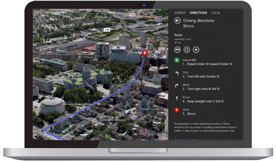
Google Maps

We create interactive apps that make use of the Google Maps API. We enhance apps with detailed information about millions of locations and offer autocomplete answers to user inquiries. We program geolocation capabilities that offer location data without relying on GPS and transform addresses to geographic coordinates using the geocoding API. To enhance navigation, we directly integrate Google Maps into ride-sharing applications. We offer Unity-based games immersive real-world 3D structures with current global data.

Apple Maps

We create applications that use MapKit to show interactive maps with personalized overlays, highlighted regions, and annotations. We give users complete control to pan, rotate, zoom, and move the map around in 3D. We also display users' present locations or use direction APIs to direct them to their next destination. To incorporate Apple Maps into your website, we use MapKit JS. To provide a model for any indoor site and a foundation for direction, navigation, and discovery, we offer the Indoor Mapping Data Format.